

Drones have moved from wedding videos to serious business tools. In Kerala's hilly terrain, dense vegetation and monsoon conditions, they let teams survey land, inspect structures and monitor crops without risky climbs or long site walks.
What drones are used for
| Use | Output | Who benefits |
|---|---|---|
| Land survey and mapping | Orthomosaic maps, contours, digital elevation models | Builders, planners, surveyors, government projects |
| Construction monitoring | Progress photos, volumes, 3D models | Contractors, developers, investors |
| Inspection | Close-up images and thermal scans | Telecom towers, solar plants, roofs, bridges, factories |
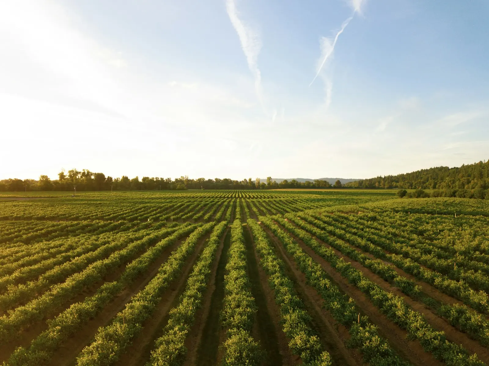
| Agriculture | Crop health maps, precision spraying | Plantations, farms, FPOs |
| Media | Aerial video and photography | Tourism, real estate, events, brand films |
| Emergency and environment | Rapid situation maps, flood and landslide assessment | Disaster response, NGOs, researchers |
The rules in India, simply
Civil drones in India are governed by the Drone Rules, 2021 and managed through the DigitalSky platform. In short:
- Drones must be registered and carry a Unique Identification Number (UIN), except nano drones for non-commercial use
- Pilots of non-nano drones need a Remote Pilot Certificate from a DGCA-authorised training organisation
- Check the airspace map: green zones need no permission up to 400 ft, yellow zones need ATC permission, red zones need central government permission
- Respect privacy, local restrictions and the site owner's permission
Planning a drone project
- Define the output: map accuracy, 3D model, inspection report, video – and how you will use it.
- Site study: area, terrain, obstacles, airspace zone and access.
- Ground control: survey-grade projects use ground control points or RTK/PPK drones for centimetre accuracy.
- Fly in good weather – wind and rain matter, so plan around the monsoon.
- Process and analyse: photogrammetry, measurements, AI defect detection and reports.
AI makes drone data more useful
Thousands of images are only valuable if someone can find the problems in them. Computer vision can flag cracks, corrosion, damaged solar panels, stressed crops or encroachments automatically, so experts review the exceptions instead of every frame.
Tinos Robotics works on drone development, robotics and automation. See how drones and sensors help farms in our agriculture technology guide.
Frequently asked questions
How accurate is a drone survey?
With ground control points or RTK/PPK positioning, drone surveys commonly reach a few centimetres of accuracy, which suits most planning and construction work.
Can drones fly during the monsoon?
Not in rain or strong wind. Projects are planned for dry windows, which are frequent even during the monsoon.
Do I need permission to fly a drone over my own property?
Commercial use still needs a registered drone and a certified pilot, and the airspace zone rules apply regardless of who owns the land.